slit trenching trail pitting
soil character

What Is a Geophysical Survey?

Methods, Applications, Equipment and Deliverables

A geophysical survey is a non-invasive or minimally invasive investigation that measures physical properties of the ground, rock, groundwater or buried objects.

How does a Geophysical Survey Works?

1. Planning and method selection

The team defines the investigation target, expected depth, site conditions, grid or line arrangement, access and quality requirements. One or more complementary methods are selected.

2. Field acquisition

Sensors and sources are deployed along planned lines, grids, boreholes or vessel routes. Field quality control checks signal quality, positioning, repeatability and coverage.

3. Processing

Measurements are filtered, picked, corrected and, where applicable, inverted to convert field observations into interpretable sections or models.

4. Interpretation

Geophysical results are compared with geology, utilities, boreholes and geotechnical data. Anomalies are evaluated according to the capabilities and limitations of each method.

5. Reporting

The deliverable presents survey methods, quality control, processed results, interpreted sections, plans, models, limitations and practical conclusions in an engineer-signed report.

What is a Geophysical Survey?

A non-invasive or minimally invasive investigation.

soil remediation

Geophysical survey investigations help identify subsurface conditions and potential underground features before construction begins, reducing project risks and supporting informed engineering decisions.

A geophysical survey is a non-invasive or minimally invasive investigation that measures physical properties of the ground, rock, groundwater or buried objects. The collected data is processed and interpreted to create an image or model of conditions below the surface.

Unlike drilling, which provides detailed information at individual locations, geophysical methods can collect continuous data along lines or across grids. This makes them useful for mapping changes between boreholes, identifying anomalies and targeting locations for further investigation.

Vision International provides integrated geophysical surveys for oil and gas, infrastructure, marine, port, building, industrial and government projects across Kuwait and the GCC. Published capabilities include Multichannel Analysis of Surface Waves (MASW), seismic refraction and reflection, Electrical Resistivity Tomography (ERT), cross-hole and down-hole seismic testing, Ground Penetrating Radar (GPR), electromagnetic methods and land and marine magnetometer surveys.

Geophysical Survey

APPLICATION

Engineering and geotechnical investigation: Mapping stratigraphy, rockhead, weak zones and seismic properties between boreholes.

Cavity and sinkhole investigation: Using ERT, seismic methods or GPR to identify anomalies for targeted verification.

Seismic site classification: Obtaining shear-wave velocity and Vs30 using MASW, ReMi or borehole seismic methods.

Utility detection: Locating buried services before excavation, drilling or construction.

Pavement and structural investigation: Evaluating pavement layers, voids and concrete reinforcement using radar.

Groundwater and environmental work: Mapping resistivity or conductivity contrasts associated with groundwater, salinity and contamination.

Oil, gas and industrial projects: Supporting ground characterization, pipeline tracking, buried-object detection and safe site development.

Marine and port projects: Using marine magnetometers to identify pipelines, cables, ferrous objects and possible UXO.

Typical Geophysical Survey Deliverables

Typical geophysical survey deliverables present the survey findings in a clear and actionable format, providing valuable insights into subsurface and seabed conditions. These deliverables support project planning, engineering design, risk assessment, and informed decision-making.

Why Use Geophysical Surveys?

A Geophysical surveys can improve subsurface coverage while reducing unnecessary drilling. They are often combined with boreholes, laboratory results and geological information to create a stronger ground model. The technique must be selected for the target, expected depth, ground conditions, access and required resolution.

Common investigation objectives include:

How Vision International Performs a Geophysical Survey

1. Define the target

Clarify whether the project requires stratigraphy, depth to rock, seismic velocity, utilities, cavities, groundwater, UXO or another specific objective.

2. Select the method

Choose the technique, frequency, array, line spacing, grid and investigation depth appropriate to the target and site conditions.

3. Acquire and check data

Collect positioned field data with ongoing quality control so gaps or poor-quality areas can be addressed before demobilization.

4. Process and integrate

Apply filtering, picking and inversion, then compare the results with boreholes, geotechnical tests and available records.

5. Interpret and report

Prepare drawings, sections, models and an engineer-signed report that explains findings, uncertainty and recommended follow-up work.

Why Choose Vision International for Geophysical Surveying?

Comprehensive techniques: MASW, ReMi, seismic refraction and reflection, ERT, VES, IP, EM, SP, GPR, borehole seismic and magnetic surveys.

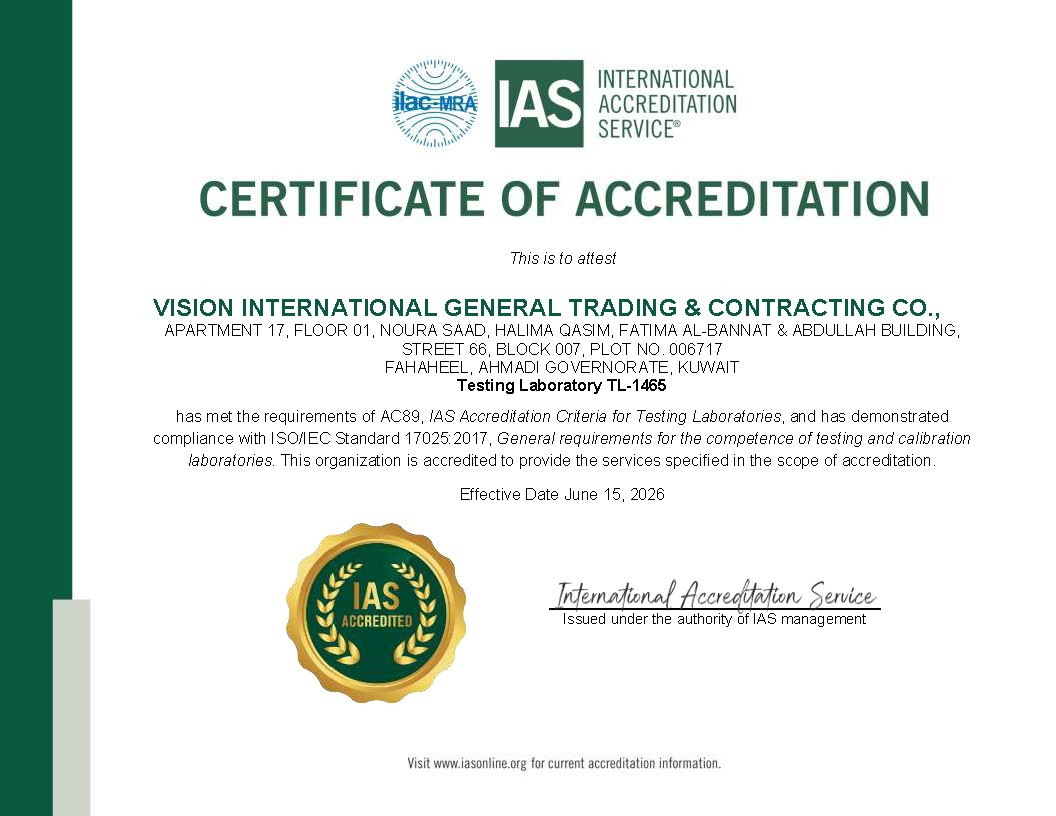
Integrated delivery: Geophysical teams work with geotechnical drilling, senior engineers and accredited laboratory services.

Engineer-led reporting: Survey results are interpreted for project decisions rather than supplied only as raw data.

Regional capability: Services support oil and gas, infrastructure, marine, port, building, industrial and government projects across Kuwait and the GCC.

Established experience: Vision International has operated since 2004 and reports more than 2,000 delivered projects and four ISO certifications.

Need a Geophysical Survey for a Project?

Need continuous subsurface information for an engineering, infrastructure, oil and gas, marine or utility project?
Vision International can recommend a geophysical method and survey layout based on the target, investigation depth, site conditions and required deliverables.

Request a Geophysical Survey Support Now

📅 Last updated: