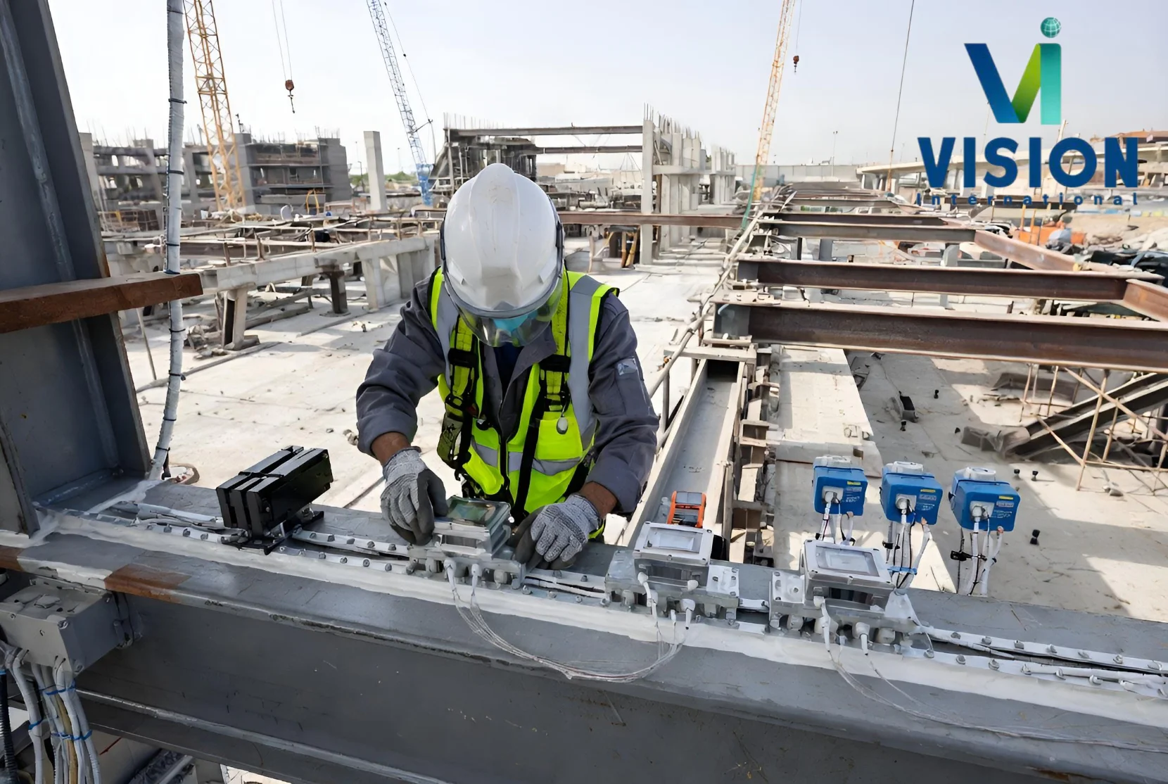
Setting-Out, Dimensional Control, Monitoring and As-Built Verification
An engineering construction survey is the precise measurement work used to transfer design information from drawings and digital models to the construction site.
Why Is An Engineering Construction Surveying Important?
Small positioning or level errors can create major construction problems. Incorrect anchor bolts, misplaced columns, uneven rails, out-of-plumb structures or inaccurate formwork may cause rework, installation delays and clashes with other disciplines.Regular survey control helps project teams:
Transfer approved design coordinates accurately to site
Verify foundations, columns, walls and structural grids
Check formwork and embedded items before concrete pours
Control levels, alignment, plumb and dimensional tolerances
Position equipment, rails, bearings and precast elements
Monitor settlement, heave, deflection and structural movement
Compare completed work against the approved design
Produce traceable as-built drawings for handover
What Is an Engineering Construction Survey?
A Precise Measurements to transfer design information
Engineering Construction Survey
An engineering construction survey is the precise measurement work used to transfer design information from drawings and digital models to the construction site. Surveyors establish control points, set out positions and levels, verify tolerances, monitor movement and record completed work.
Construction surveying connects design intent with physical construction. It helps ensure that foundations, columns, anchor bolts, equipment, roads, utilities and structural elements are built in the correct location, orientation and elevation.
Vision International provides setting-out and construction surveying across Kuwait for civil, infrastructure, building, industrial and oil-field projects. The supplied capability lists MPW-registered crews, KOC-approved support, Trimble S-Series total stations, R-Series GNSS rovers, SX12 scanning total stations, automated monitoring systems and round-the-clock site support.
How An Engineering Construction Surveying Works
1. Mobilization
A survey crew is assigned, project drawings and coordinate information are reviewed, and site access and permit requirements are confirmed.
2. Survey Control
Primary control and benchmarks are verified against the approved Kuwait datum, then a project traverse and working-control network are established.
3. Setting-Out
Surveyors mark the required coordinates, lines, offsets and levels according to the approved drawing schedule.
4. Independent Verification
Critical positions and dimensions are checked before concrete placement, fabrication acceptance, installation or handover.
5. As-Built Documentation
Final measurements are compared with the approved design and issued as signed drawings, reconciliation reports and closeout data.
What are the Main Construction Survey Services
Construction Setting-Out
Setting-out transfers design coordinates and levels to the site. Vision International’s capability includes foundations, columns, anchor bolts, embedments, site grids and structural elements. The brochure states foundation setting-out to plus or minus 2 mm, subject to the selected method, project control, site conditions and specified tolerance.
Survey Control and Benchmarks
A reliable control network is the foundation of construction surveying. Total-station traverses, GNSS observations and level loops create verified horizontal and vertical references for daily work. Control points should be protected, checked regularly and documented so later surveys remain traceable to the same datum.
Pre-Pour and Formwork Verification
Pre-pour surveys verify formwork position, dimensions, levels, reinforcement interfaces, anchor bolts and embedded items before concrete placement. Early checks allow corrections before work becomes difficult or costly to change.
Dimensional Control
Dimensional-control surveys confirm the size, alignment, level, plumb and relative position of components. The supplied capability includes steel-fabrication checks, precast-element receiving inspection, equipment-installation alignment, bridge bearings, expansion joints, crane runways and rail alignment.
Verticality and Plumb Surveys
Verticality surveys determine whether columns, towers, tanks, vessels and other structures remain within specified plumb tolerances. Measurements may be repeated during construction to identify movement or accumulated installation error.
RTK GNSS Construction Surveys
RTK GNSS provides real-time centimetre positioning for suitable open-site work. The supplied capability identifies Trimble R12i and R780 receivers operating on Vision International’s VRX network. GNSS is commonly combined with total stations and levelling for structures that require tighter local control.
Scanning Total Stations
Scanning total stations combine precise survey measurements with point-cloud capture. Vision International lists the Trimble SX12, which can support complex as-built documentation, façade and structure checks, and verification where dense three-dimensional coverage is useful.
Specialist Construction Survey Applications
Foundations and substructures: Grid, excavation, pile, footing, pedestal and foundation setting-out with level verification.
Anchor bolts and embedments: Position, spacing, elevation and orientation checks before and after concrete placement.
Columns and structural frames: Grid alignment, plumb checks and floor-to-floor control.
Precast and steelwork: Receiving inspection, fabrication checks, erection alignment and dimensional verification.
Equipment installation: Centreline, elevation, orientation, baseplate and interface alignment.
Tanks and vessels: Foundation checks, shell verticality and dimensional surveys.
Bridges: Bearing positions, deck levels, expansion joints and structural geometry.
Crane rails and runways: Gauge, alignment, level and straightness verification.
Tunnels and retaining walls: Control transfer, convergence, settlement and deflection monitoring.
Roads and infrastructure: Alignment, level, earthwork, utility and final as-built surveys.
Construction Survey Equipment
Trimble S5, S7 and S9 total stations: Robotic precision instruments for control, setting-out, alignment and verification.
Trimble R-Series GNSS rovers: Real-time positioning for site control and open-area construction surveys.
Trimble SX12scanning total station: Combines high-accuracy total-station measurement with point-cloud scanning.
Digital and precise levels: Transfer and verify elevations, benchmarks and settlement points.
Automated total stations and prisms: Provide repeated or continuous structural-movement observations.
Tilt and vibration instruments: Support specialist monitoring where angular movement or vibration must be tracked.
CAD, Revit and reporting software: Convert field measurements into setting-out schedules, as-built drawings and reconciliation reports.
An Engineering Construction Survey
APPLICATION
Ports and harbours: Navigation channels, berth pockets, turning basins, anchorages and maintenance planning.
Dredging: Pre-dredge, interim, as-dredged and maintenance surveys with volume calculations.
Submarine pipelines and cables: Route selection, seabed slopes, crossings, obstructions and shore approaches.
Offshore facilities: Site investigation, subsea structures, platforms, marine terminals and mooring areas.
Coastal engineering: Breakwaters, reclamation, shoreline protection and hydrodynamic modelling.
Marine construction: Installation planning, construction control, progress surveys and final as-built verification.
Environmental studies: Seabed morphology, sediment mapping and integration with water-quality observations.
Nautical charting: Soundings, hazards and hydrographic information for approved charting workflows.
Typical Construction Survey Deliverables
Survey-control and benchmark report
Coordinate and setting-out schedules
Foundation, column and anchor-bolt setting-out records
Pre-pour and formwork verification reports
Verticality and plumb survey results
Equipment and structural-alignment reports
Bridge-bearing and expansion-joint survey records
Crane-rail and runway alignment reports
Monitoring baseline and time-series results
Movement plots and threshold reports
As-built CAD drawings
Dimensional-reconciliation and clash reports
Revit, AutoCAD and PDF deliverables
Final signed closeout survey package
How Vision International Delivers Construction Surveys
1. Review the design
Confirm approved drawings, coordinates, revision status, tolerances and survey responsibilities.
2. Establish verified control
Connect the project network to the approved datum and create protected working points and benchmarks.
3. Support daily construction
Set out scheduled work, check critical interfaces and issue field records.
4. Verify independently
Complete QA checks before pours, installation acceptance and closeout.
5. Reconcile and hand over
Compare final measurements with design and issue signed as-built drawings and reports.
Why Choose Vision International for An Engineering Construction Surveying?
Vision International provides an Engineering construction survey capability for projects in Kuwait and the Arabian Gulf. Our available capabilities include:
MPW-registered and KOC-approved capability: The supplied brochure identifies MPW-registered survey crews and KOC-approved construction support.
Modern Trimble equipment: S-Series total stations, R-Series GNSS rovers and SX12 scanning total stations support setting-out and verification.
Setting-out through closeout: Services cover control, daily setting-out, dimensional QA, monitoring and final as-built documentation.
Round-the-clock field support: Surveyors can support day, night, shutdown and tie-in work, subject to project scheduling.
Chartered surveyor sign-off: The supplied capability states that surveys and reports are signed by a chartered land surveyor.
Regional experience: Vision International has operated since 2004 and provides Kuwait and GCC coverage.
Need an Engineering Construction Survey for a Project?
Planning a building, infrastructure, industrial, oil-field or civil project? Vision International can provide survey crews for control establishment, setting-out, pre-pour checks, dimensional verification, monitoring and as-built documentation.