,

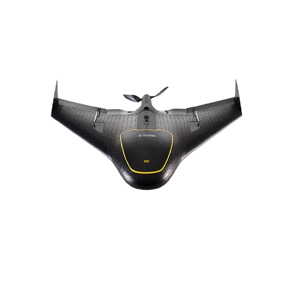
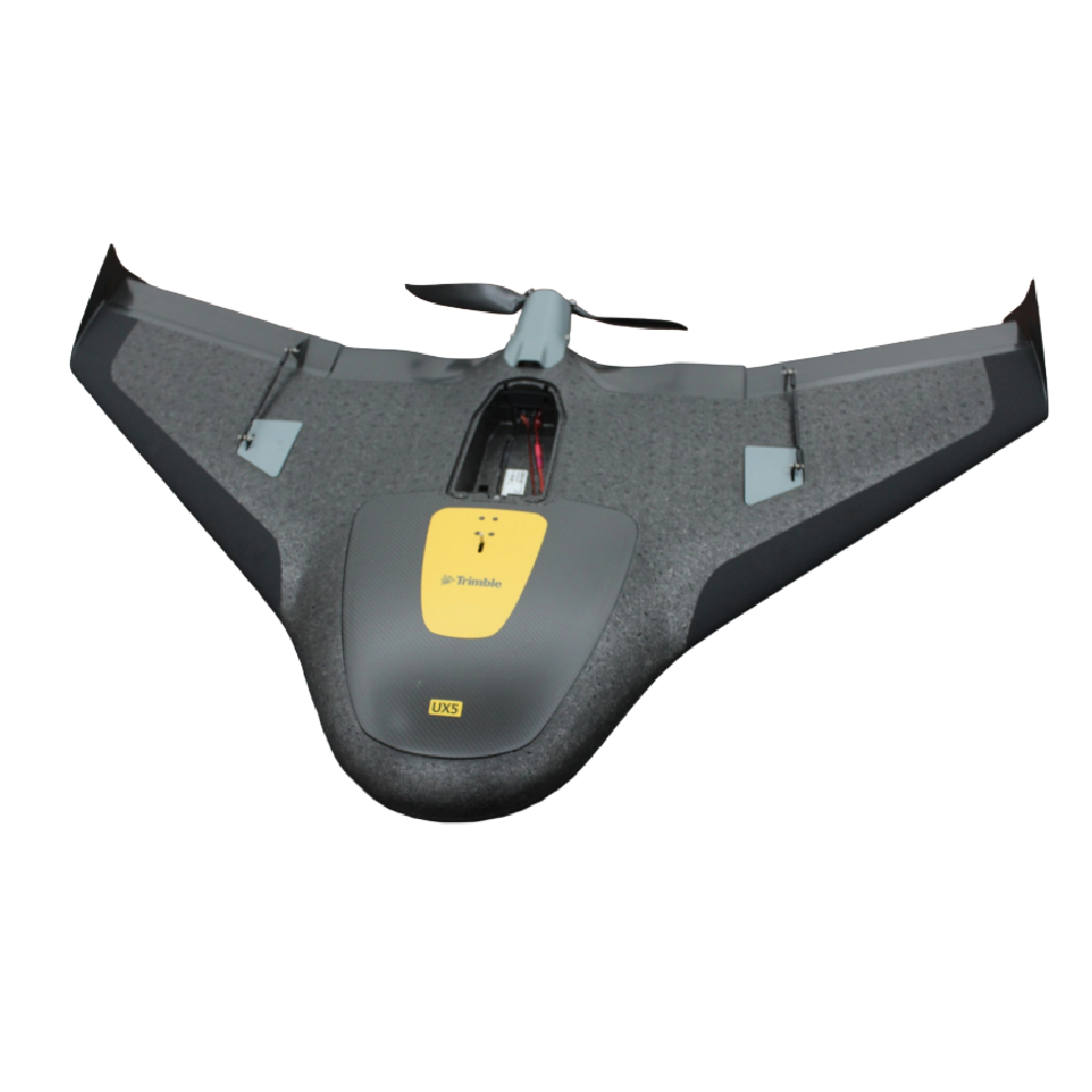
Trimble UX5 Unmanned Aircraft System

The Trimble UX5 is a fixed-wing unmanned aircraft system (UAS) designed for mapping and surveying applications. It provides fully automated flight planning, data collection, and landing capabilities.

Key Specifications

  • Aircraft type: Fixed-wing UAV
  • Wingspan: 1.0 m
  • Weight: Approximately 2.5 kg
  • Endurance: Up to 50 minutes
  • Cruise speed: 80 km/h
  • Camera: 24 MP APS-C RGB camera
  • Ground resolution: Down to 2 cm GSD
  • Coverage: Up to 19 km² per flight (depending on altitude)
  • Launch method: Catapult launcher
  • Landing: Autonomous belly landing with reverse thrust
  • Wind resistance: Up to 65 km/h
Categories: , Tags: ,
The Trimble UX5 is a professional fixed-wing unmanned aircraft system (UAS) designed for high-accuracy aerial surveying and mapping. Featuring a fully automated flight workflow, a high-resolution 24 MP camera, rugged all-weather construction, and advanced reverse-thrust landing technology, it enables surveyors, engineers, and GIS professionals to collect detailed geospatial data quickly, safely, and efficiently. The system captures sharp, survey-grade imagery for creating Ortho mosaics, 3D models, and terrain maps, while integrating seamlessly with Trimble’s data processing software to streamline the entire mapping workflow from flight planning to final deliverables.

📅 Last updated:

Reviews

There are no reviews yet.

Be the first to review “Trimble UX5 Unmanned Aircraft System”

Your email address will not be published. Required fields are marked *